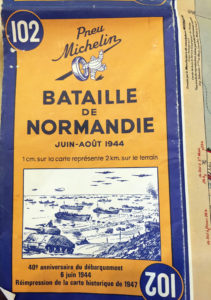
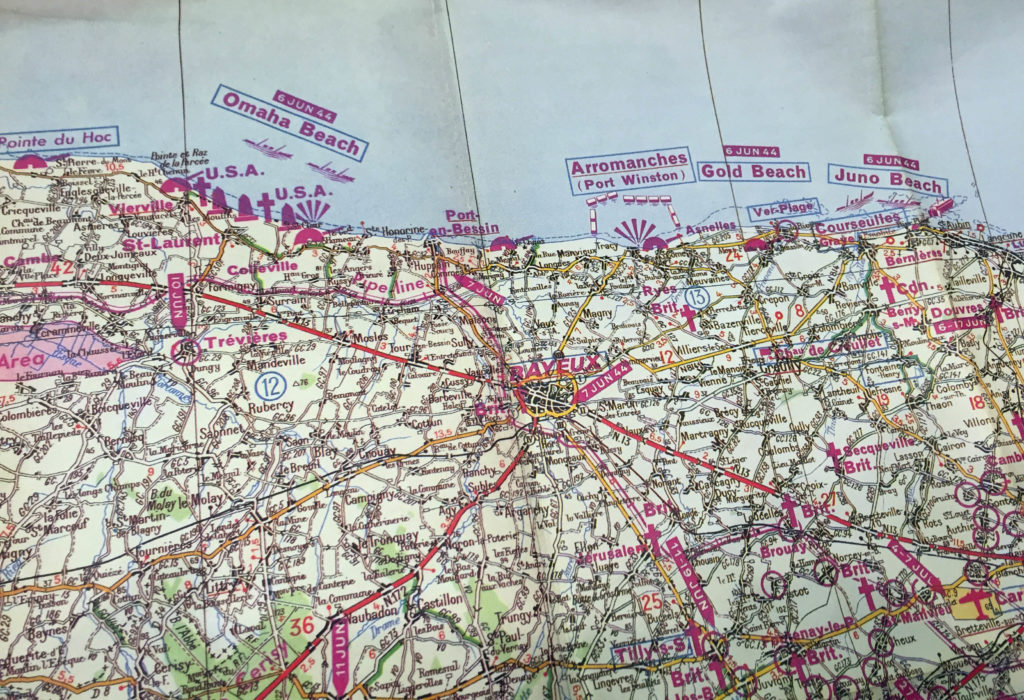
This map is a French 40th year anniversary map depicting the battle sites of the Normandy Invasion, or D-Day as it is also commonly referred, to which occurred on 6 June 1944 . The official name of the invasion was Operation Overlord. There was a total of 156,115 US British and Canadian troops, along with 6,939 ships and landing vessels, and 2,395 aircraft and 867 gliders that delivered troops to the beaches of Normandy. Operation Overload divided the Normandy coast into five beaches: Utah, Omaha, Gold, Juno and Sword.
By 11 June 1944 all of the beaches were in Allied hands. Temporary harbors were installed allowing men and supplies to be brought in and begin the retaking of France and the eventual defeat of the Nazis. Less than a year later on 7 May 1945 Germany signed an unconditional surrender.
This map was donated to the Sachse Historical Society by the Military Heritage Collection of North Texas.